THANKFUL THURSDAY
I have been using the new mapping website I had posted about earlier this week. This was made in conjunction with the University of Pittsburgh. I am thankful I have found this website. I think this will help in finding families and be useful to see what is near to where they lived. For me I have been searching for the ethnic churches and perhaps you can find where they may have attended.http://peoplemaps.esri.com/pittviewer/
It has a small learning curve, but I think I am beginning to get the hang of it. The site starts you out in 1890. There have taken the known maps of Pittsburgh from 1835, 1855, 1882, 1890, 1903-07, 1910, 1923, a black and white map for 1939--but it is difficult to visualize it and a Google Earth type map for 2012. I do not know if Google maps was what they used, but that is what it reminds me of.
It has a space at the top right where you can put in an address (your ancestor for instance) and then click on the various years to see how things have changed. On the top left is a vertical bar that you can use to enlarge the picture or make it smaller and then it will show more of the community.
In the bottom right is a small box that will bring up a snapshot and it has a rectangle box that you can more about and it will follow it on the large map. They maps are overlaid and you can click through the years, on some of them they will have a shadow from the previous map so you can follow what was there previously.
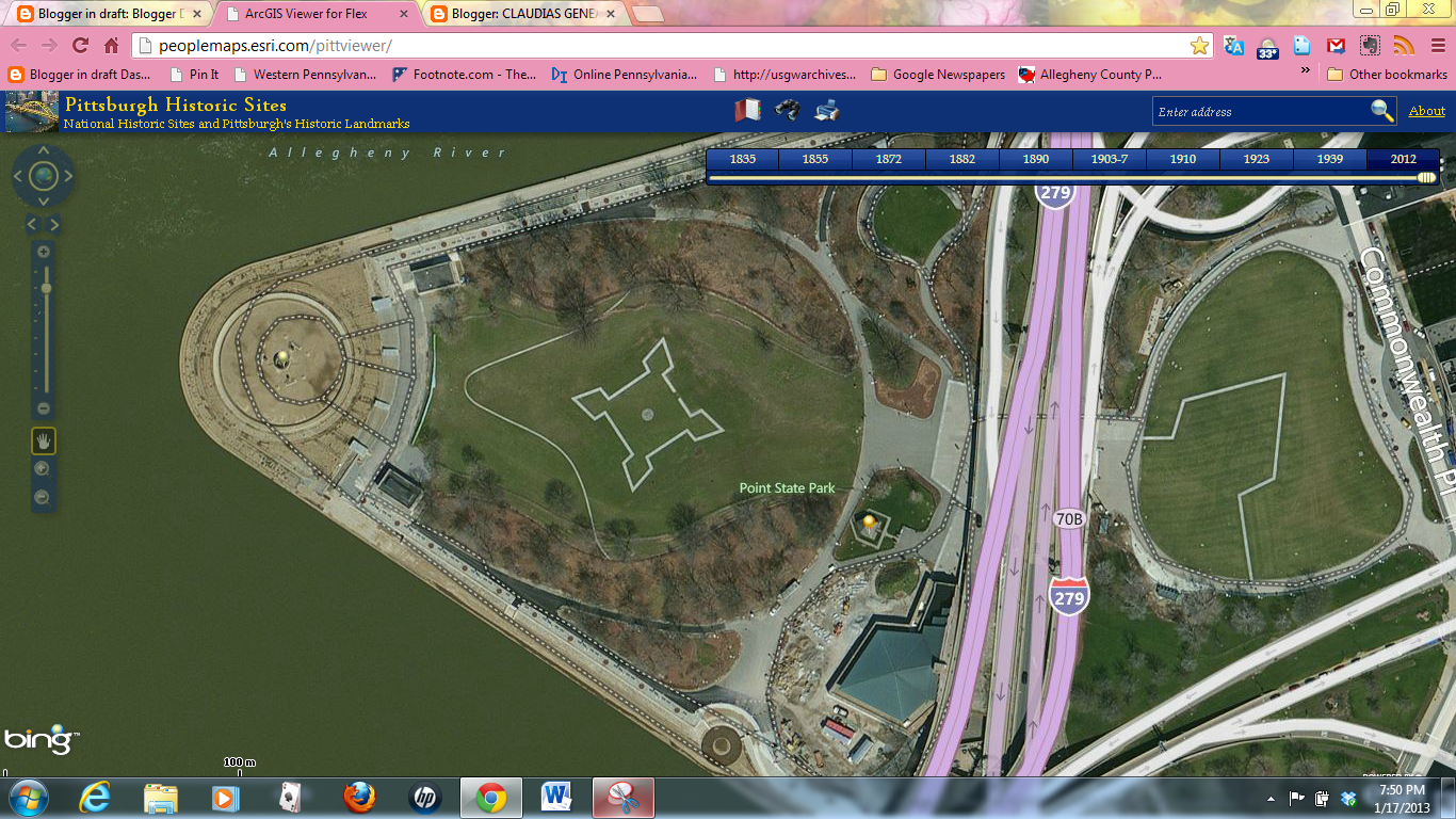
On some of the maps are located little gold "push pins", you can click on them and information about the location will appear and an external link if there is more information. I have found these maps absolutely mesmerizing and fascinating. I will demonstrate with the confluence of the three rivers
Pittsburgh 1835

Pittsburgh 1882

Pittsburgh 1910

Pittsburgh 1923

Pittsburgh 2012
Pittsburgh 1939

No comments:
Post a Comment